
Burma Rd Tr 0206 Ride Report
Hilso Trails, Cibola National Forest
How to get there: From I-40 take exit 33 (McGaffey). The only way you can really go is south. The north side is a frontage road that goes east-west but not north. So go south just about 7 miles. You will pass the Ft. Wingate Boarding school and a small community. There is one gas/convenience station on the road in case you need anything.Hilso Trailhead will be on the right (west) side of the road. It is well signed and easy to find. There is a small parking area and the usual USFS pit toilets in the parking area. For trailers, your best bet is to cross the second cattleguard on the forest road heading west. You will need to be careful though as the road does narrow quite a bit and can be difficult to travel in portions for horse trailers. There are camping/parking pull offs on both sides of the road so find a good spot for you and pull in. On the map above, the light grey lines that are between the Burma Rd Trail and the Stuck Truck Trail 0213 is the location of the USFS road. It WILL dead end and you cannot continue.
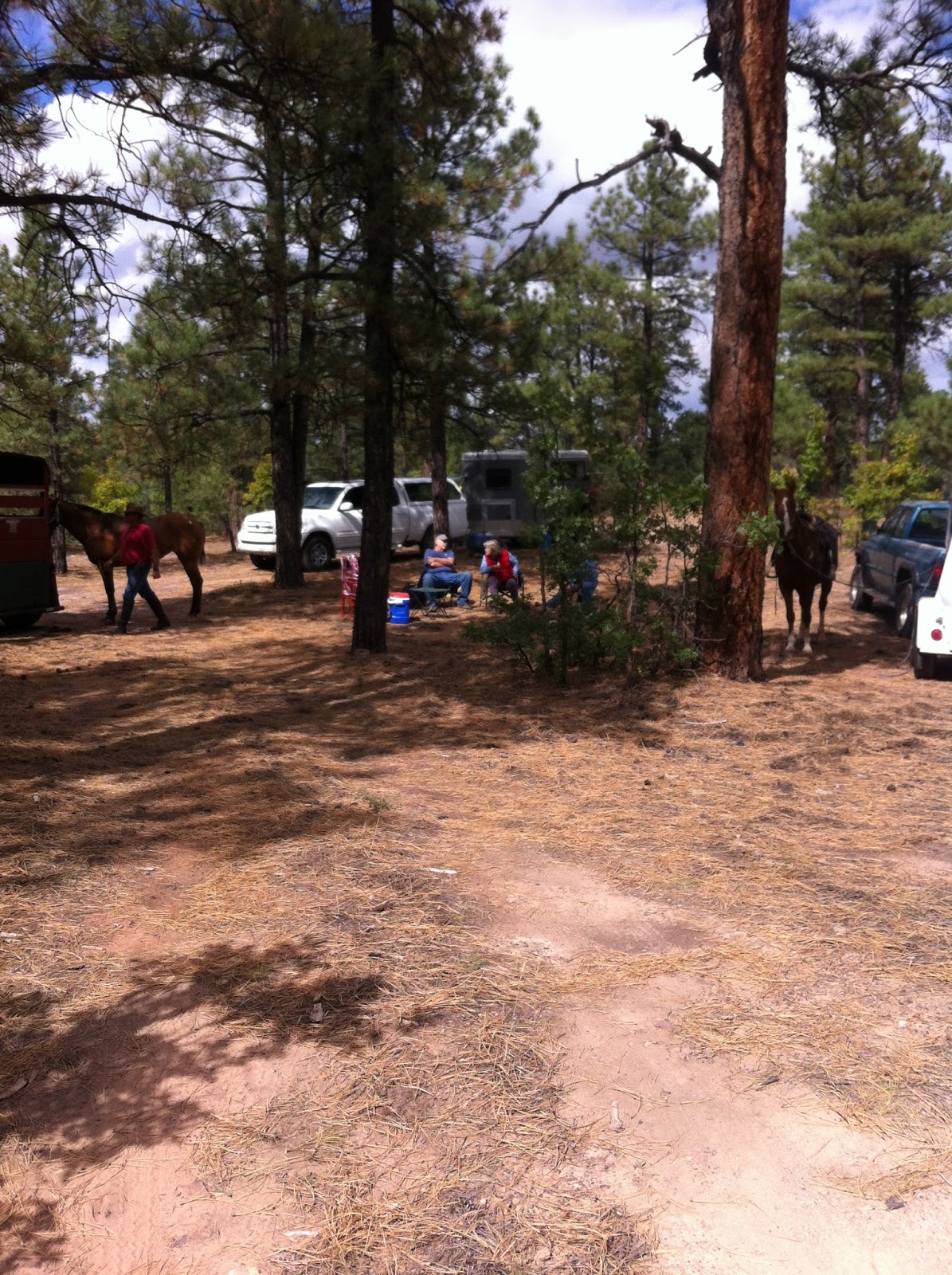
We pulled into one of the camp sites near the trailhead and rode down the USFS road until we came to the trail junction.


The trail is well developed and easy to follow. You can’t miss the large rock trail markers, the typical USFS trail stakes and the “where you are” maps along the way.

Bring your friends and have a great trail ride.


After we reached the end of the trail, we went back down the road to our parked vehicles. We didn’t calculate the exact distance, but we believe the road distance to be about equal to the trail distance so the total ride is between five to six miles.
The trail elevation is approximately 8000 ft with up and down variations along the way. It is a relatively easy with gentle up and down slopes. There are no steep/difficult climbs or descents. I would grade the trail as an easy trail and suitable for even beginner riders.
No comments:
Post a Comment